WATER CRISIS & RESOURCE MANAGEMENT
- assistant6952
- May 22, 2020
- 3 min read
Updated: Nov 17, 2020
Most regions in India are facing the consequences of climate change. Some places are facing extreme floods and others are facing extensive drought. The rainfall patterns have changed, making it impossible for anyone to meaningfully predict when rain events might start and how long they may last. In India, the number of days with heavy rains have increased over the last century and the dry periods between storms have gotten longer. This pattern of precipitation reduces water infiltration into soils.
To make matters worse, the overall annual rainfall in central India has decreased from 1950 to 2015. For a county that relies largely on rainfall for agriculture, reduced and unpredictable rainfall causes widespread crop failure. Furthermore, decades of short-sighted government policies regarding water rights, infrastructure, and management are leaving millions of impoverished Indian citizens in great danger.
The Godavari Basin
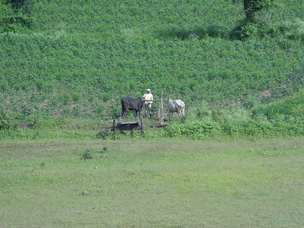
Topographically, the Yavatmal District is dominated by a number of east-west ranges. Thus, the district consists largely of hilly country, which is occasionally broken by broad valleys and partially surrounded by plains. The central portion of Yavatmal is a large plateau, with an elevation of between 300 and 600 meters above the sea level and very steep sides. Umarkhed Taluk, an agricultural community in Yavatmal, lies within the Wardha sub-basin of Godavari Basin. The Godavari Basin generally flows south-eastward and the flow ends at the Bay of Bengal on the eastern shoreline. The Godavari is the second largest basin in India. It covers part of Maharashtra, Andhra Pradesh, Telangana, Odisha,Madhya Pradesh and Karnataka states. The geographical area of the basin is 302,065.10 square kilometers. The basin has tropical climate and about 85% of annual rainfall over the basin is received during the south-west monsoon. The annual rainfall depth varies from 600 mm to 2000 mm.

However, as stated above, increasing variability in rainfall frequency and intensity, renders monsoon an unreliable water source in this region.
Potential Impact of Future Climate Change

Researchers have forecast future spatial rainfall patterns under several climate change scenarios: RCP 2.6, RCP 4.5, and RCP 8.5. RCP stands for Representative Concentration Pathway, which is the trajectory of greenhouse gas concentrations in the 21st Century. (These RCPs were used by the Intergovernmental Panel on Climate Change (IPCC) for its 5th Assessment Report.) Under RCP 2.6, it is assumed that global annual greenhouse gas (GHG) emissions peak in the 2010’s, with emissions declining substantially thereafter. Thus, RCP 2.6 is considered the best case scenario. By contrast, under the RCP 4.5 scenario, GHG emissions peak around in 2040, with emissions declining gradually after. Perhaps worse still is the RCP 8.5 scenario, under which GHG emissions would continue to rise throughout the 21st century. Under all RCP scenarios, the forecasted annual rainfall for the period between 2039 – 2069 would decrease in the upper basins, as compared to historical rainfall (Figures 4 – 6). Under the best case scenario in terms of climate change, there will be less water flow-down to lower sub-basins. It is possible that annual rainfall could increase in the Wardha sub-basin (where Yavatmal District and Umarkhed Taluka are located) under RCP 2.6 and 4.5 scenarios (Figures 4 & 5). But projected total rainfall increases may not mean more water for agriculture and other human uses. If this rainfall is brought by just a few extreme events, prolonged dry periods could still be happening and soil infiltration rates could be poor. Under the worst case scenario RCP 8.5 (Figure 6), the annual rainfall would decrease in the Wardha sub-basin as compared to historical rainfall. Coupling this with the decreasing flow from upstream basins, Umarkhed Taluk is expected to face a very serious water shortage crisis by 2050 if nothing is done to improve the soil-water interface or to improve water infrastructure.

Water Resources and Irrigation Management
Climate change is not the only driver of the crippling drought events in and around Umarkhed. Often, mismanagement is also to blame. Water resources problems are very complex, interconnected, and overlapping. Water resources management considerations often involve water allocations, economic developMent, and environmental preservation. These factors amplify the climate-accelerated water crisis. The Godavari River must be managed at the basin scale using a systems perspective. There are numerous dams in the Wardha sub-basin that must be operated conjunctively to achieve water resources sustainability in the region. At the local scale, water storage facilities can be designed, built, and utilized in Umarkhed. Irrigation practices can also be improved. For example, as compared to open channel irrigation canals, large diameter prefabricated concrete pipes are both cheaper and quicker to install. With pipes installed, the discharge points are far more controllable as valves can be used. Additionally, highly efficient solar powered drip irrigation systems could be used, giving farmers ways to simultaneously use water and energy efficiently and provide optimal irrigation for crops.


Comments